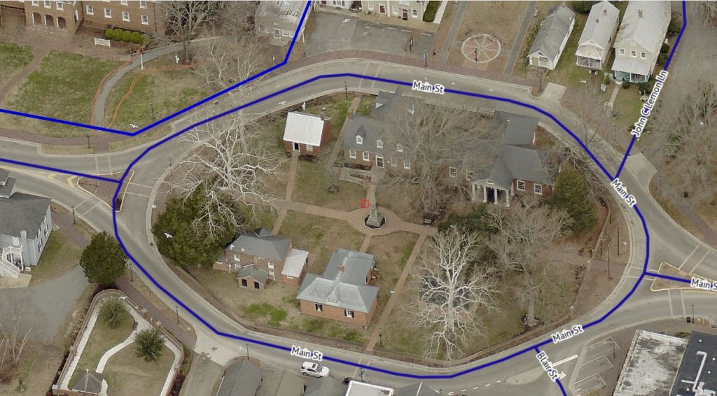
Gloucester County’s Geographic Information Systems Department announced last week that updated Pictometry imagery is now available on the county’s website. The latest oblique imagery captures up to three-inch accuracy. Gloucester County first purchased the Pictometry software in 2011 to help real estate assessment teams inspect properties, limiting the hours necessary for staff to be out in the field. Since that time, the tool has proven to be valuable not only for real estate assessments, but also for the sheriff’s office, Codes, Environmental, Parks, Recreation and Tourism and many other county departments. The tool has also proved to be extremely popular with citizens and real estate professionals often using it to inspect current or prospective properties. According to the county’s analytics, the GIS page featuring the Pictometry is one of the top visited pages on the county’s website. The latest Pictometry product, called “Reveal,” is so precise that it will help the Real Estate A...
To view the rest of this article, you must log in. If you do not have an account with us, please subscribe here.