
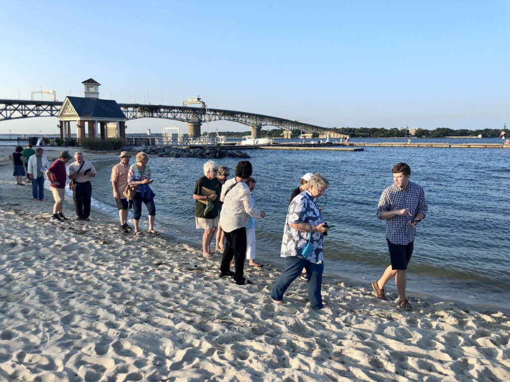
Wetlands Watch announced that Catch the King 2025, a community science effort inviting residents to map how far flooding reaches during the year’s highest tides, will be held Oct. 10-12. In a period of 15-30 minutes, volunteers use the free Sea Level Rise app (iOS/Android) to drop GPS points that help VIMS improve flood-prediction models used by local governments. To participate, sign up at wetlandswatch.org/catchtheking and attend a short training (live or virtual); pick a nearby site, walk the water’s edge, and log points in the free Sea Level Rise app (15–30 minutes); avoid flood waters and private property, and watch traffic and tides. “Catch the King is one of the easiest ways to contribute to climate adaptation in your community,” said Mary-Carson Stiff, Executive Director of Wetlands Watch. “When you step outside and trace the edge of a flood, you’re not just recording data—you’re participating in a collective effort to understand how rising seas are reshaping our coastlines. Ea...
To view the rest of this article, you must log in. If you do not have an account with us, please subscribe here.