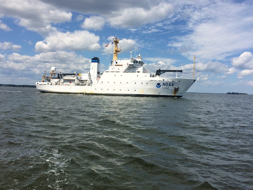
NOAA ship Thomas Jefferson, a 208-foot hydrographic survey vessel, was spotted in the waters off Gloucester Point recently. Homeported in Norfolk, the Thomas Jefferson maps the ocean to aid maritime commerce, improve coastal resilience, and understand the marine environment. Officers, crews, and scientists aboard the ship log the data that NOAA cartographers use to create and update the nation’s nautical charts....
To view the rest of this article, you must log in. If you do not have an account with us, please subscribe here.